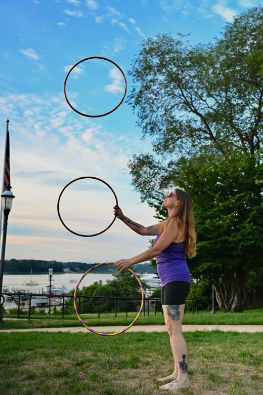
It was a coats-off afternoon on Monmouth Street in Red Bank Thursday, but temperatures over the next few days won’t be as conducive to t-shirts. Or so says one forecast. (Click to enlarge)
From a summery high of 72 degrees Thursday, the greater Red Bank Green settles back into more seasonable weather over the next few days.
Or so says the National Weather Service. The Weather Channel has a somewhat different take. Its outlook is for noticeably higher daily highs than the NWS calls for, particularly for Sunday and Tuesday.
Here’s the extended forecast from the NWS, with the Weather Channel outlook for daily high temperatures in brackets:
Today: Mostly sunny, with a high near 54. Northwest wind between 10 and 15 mph. [Weather Channel high: 50]
Tonight: A chance of sprinkles before 7pm, then a slight chance of showers between 7pm and 8pm. Partly cloudy, with a low around 32. Northwest wind between 15 and 18 mph. Chance of precipitation is 20%.
Saturday: Sunny, with a high near 44. Northwest wind between 8 and 15 mph. [Weather Channel high: 47]
Saturday Night: Partly cloudy, with a low around 33. West wind between 5 and 9 mph.
Sunday: Sunny, with a high near 55. West wind between 10 and 14 mph. [Weather Channel high: 63 ]
Sunday Night: Mostly clear, with a low around 40.
Monday: Mostly sunny, with a high near 62. [Weather Channel high: 64 ]
Monday Night: A chance of showers. Mostly cloudy, with a low around 45. Chance of precipitation is 30%.
Tuesday: Partly sunny, with a high near 64. [Weather Channel high: 70]
Tuesday Night: Partly cloudy, with a low around 47.
Wednesday: Mostly sunny, with a high near 62. [Weather Channel high: 66]
Wednesday Night: Partly cloudy, with a low around 47.
Thursday: A chance of showers. Partly sunny, with a high near 62. Chance of precipitation is 30%. [Weather Channel high: 67]