



By BRIAN DONOHUE
It’s time to hit the trail – or the kinda sorta trail – again.
Today redbankgreen continues our journey by foot along the length of Red Bank’s Swimming and Navesink River waterfronts.
If you missed Part 1 of the video series, the premise is this: Red Bank is a river town that has long kept its river as an all-too-hidden secret. The dream of folks being able to walk Red Bank’s waterfront from one end of the town to the other is one of the oldest ideas on the books and one that never seems to see much progress.
“Achieving meaningful and continuous waterfront access in Red Bank has been a goal for much of the last 50 years,’’ Red Bank’s 2023 Borough Master Plan put it.
And so as spring arrived this year we wondered: are there things the borough could be doing now to provide residents more access to the Swimming and Navesink Rivers? Are there access points that you maybe had no idea existed?
The only way to begin finding some of the answers was to get out there and walk.
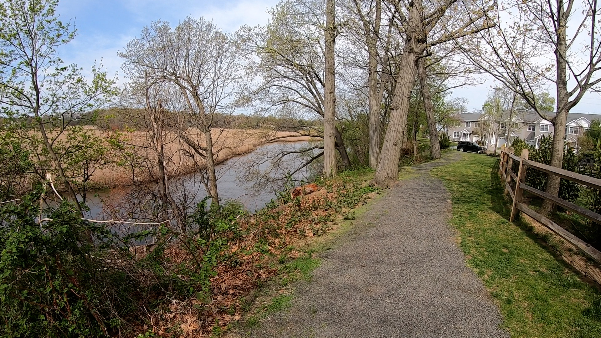
The plan: to walk the entire length of the riverfront from the Route 520 Bridge to the Fair Haven Border, jutting inland only when to do so otherwise would be trespassing.
Today we present the second leg of the trip, from the back of the Salvation Army on Newman Springs Road to the foot of Locust Avenue. Like part one of this series, this video was shot in April, before school was out and before the woods became so overgrown as to make many of these paths difficult to traverse.
The video sits atop this post. If you missed Part 1, that video is below.
I’m open to thoughts, critiques, or suggestions on what I should check out on the next few legs of my walk. There’s a long way to go and much to see.
redbankgreen editor Brian Donohue may be reached via email at [email protected] or by calling or texting 848-331-8331.