



By BRIAN DONOHUE
For a river town that has long kept its river as an all-too-hidden secret, the dream of folks being able to walk Red Bank’s waterfront from one end of the town to the other is one of the oldest ideas on the books.
“Achieving meaningful and continuous waterfront access in Red Bank has been a goal for much of the last 50 years,’’ Red Bank’s 2023 Borough Master Plan put it.
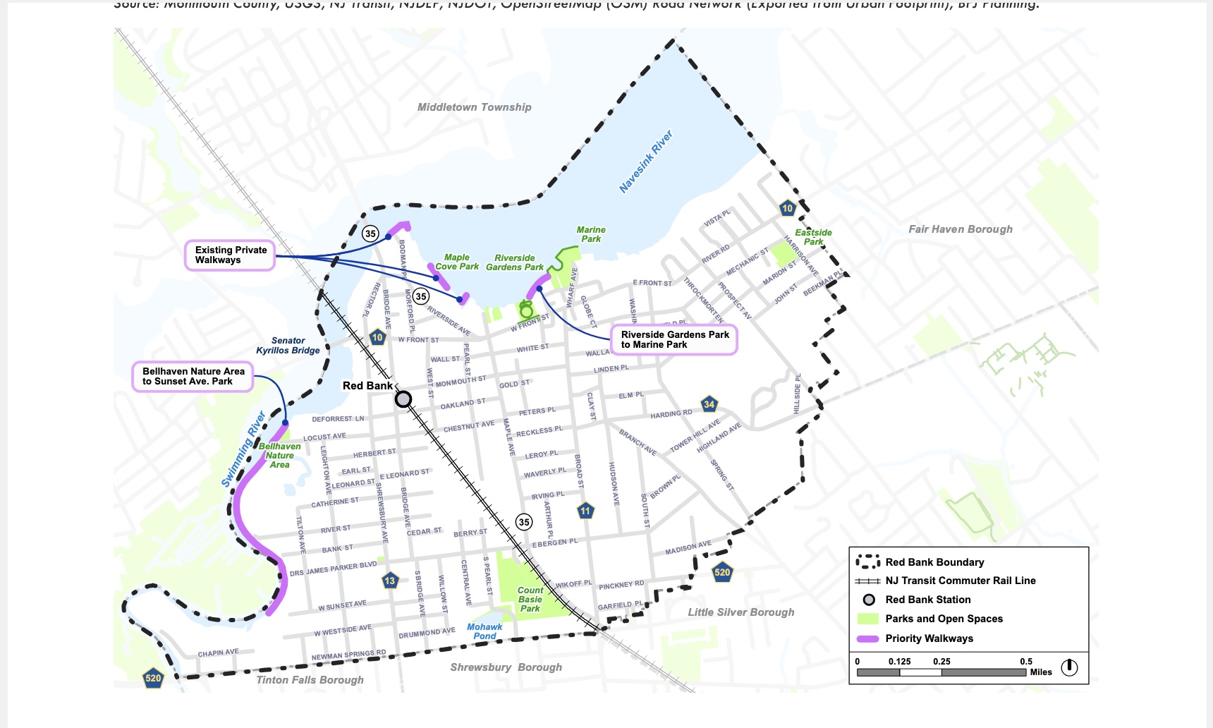
A map show from the 2023 Borough Master Plan showing sections of the Red Bank waterfront that should be prioritized to increase public access and create new sections of walkway.
Undeterred by his predecessors’ failures, at the borough’s final council meeting of 2025, Mayor Billy Portman said he was “looking forward to making progress on a Riverwalk” in 2026.
And there have been some small steps forward: including access easements granted by Riverview Medical Center and a proposal to include a segment of public walkway as a part of a 40-unit apartment building near Hubbard’s Bridge.
But are there things the borough could be doing now to provide residents more access to the Swimming and Navesink Rivers? Are there access points that you maybe had no idea existed?
The 2023 Master Plan called for the borough to take specific steps to map this all out. It states:
The Borough should conduct additional research to confirm and map all existing easements and all development that has occurred along the waterfront since adoption of the easement requirements. This would identify the properties where an easement is in place but no access is currently provided, as well as any cases where a waiver was granted from the easement requirement. The research should also confirm that all easements obtained by the Borough have been legally recorded, to ensure that the public access requirements are legally enforceable. Finally, the Borough should review any site plan approvals that have occurred since the easement regulations were put in place, to identify if there are any cases where approvals were granted on the condition of constructing public access and such improvements were not completed.
We’re not sure if anyone has done that, or tackled some of the other tasks spelled out in the plan to improve access in the three years since the Master Plan was enacted. And sometimes asking questions gets you fewer answers than old-fashioned shoe leather.
So we decided to do it our way: Walk the whole route and see what’s up.
The plan: to walk the entire length of the riverfront from the Route 520 Bridge to the Fair Haven Border, jutting inland only when to do so otherwise would be trespassing.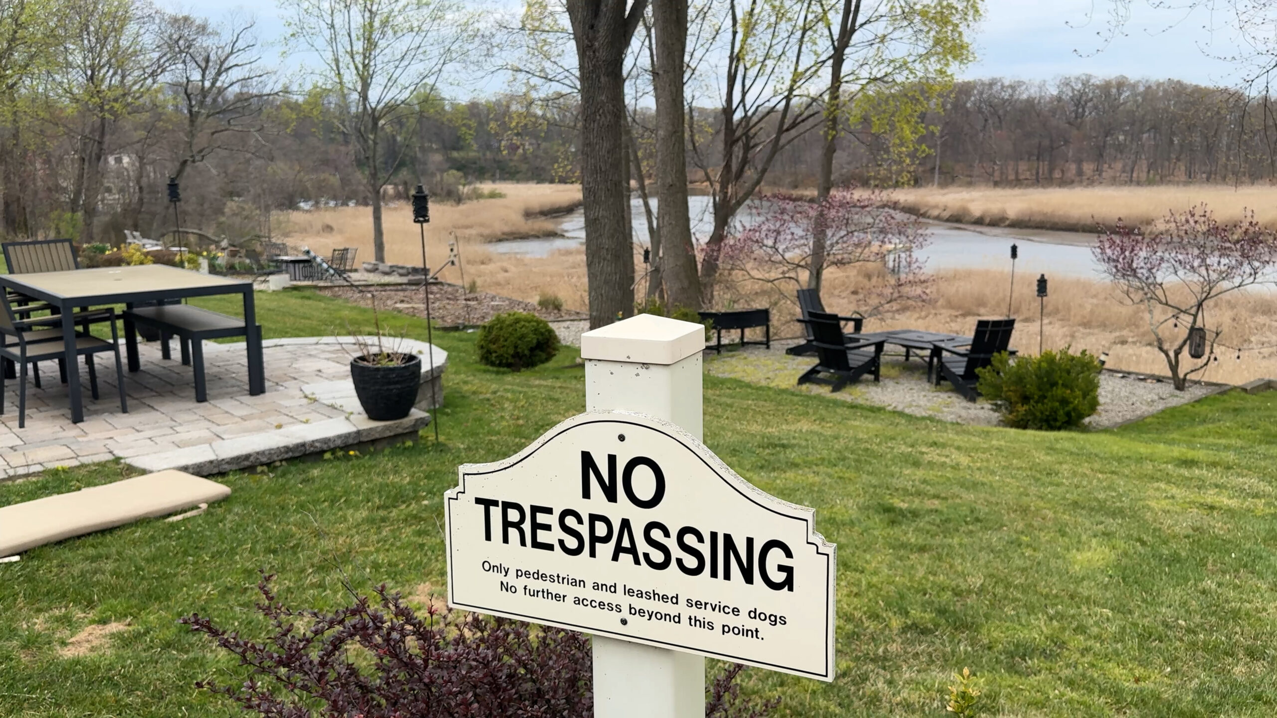
Patios constructed by residents line the ridge of condos at Chapin Avenue where maps show the builder was required to create an easement for public access.
The required detours, evidence of the massive gaps in public access, I figured, would be as illuminating as the new waterfront vistas I might discover.
I started on a very hot day in April, before the weeds along the Swimming River got too thick to walk parts of the route. Then the project got put on hold due to an injury.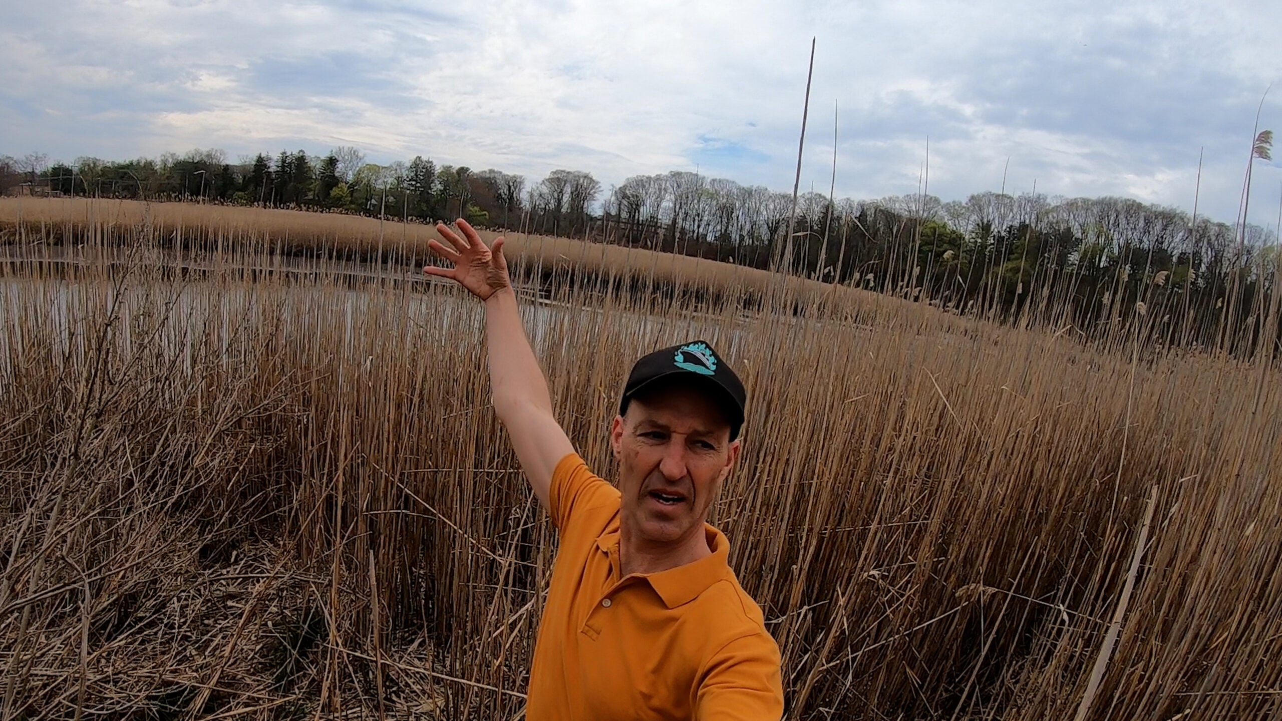
Sufficiently healed to resume my trek, over the next few weeks I’ll hopefully be completing the whole thing.
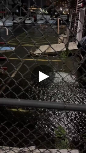
Here’s the first video, which covers just the Swimming River waterfront from the Route 520 Bridge to Chapin Avenue.
I’m open to thoughts, critiques, or suggestions on what I should check out on the next few legs of my walk. There’s a long way to go and much to see.
redbankgreen editor Brian Donohue may be reached via email at [email protected] or by calling or texting 848-331-8331.