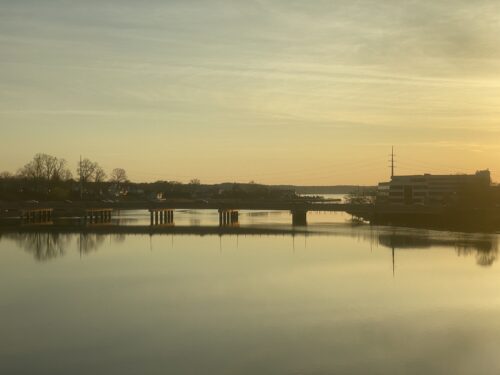
A new West Front Street bridge over the Swimming River could be built while the existing temporary structure, erected in 2004, remains open, Monmouth County officials told a gathering of area residents at the Red Bank Senior Citizen’s Center last night.
Dressed up with stylized lamps and other touches to resemble the nearby Cooper Bridge, the gently curving new Hubbards Bridge would be 220 feet longer than the existing one, they said. With 10 feet of clearance above the water at high tide, it would also be 1.5 feet higher above the navigation channel, giving small-craft boaters some extra headroom as they come and go, they said.
County officials discussed the bridge, and alternatives they consider less desirable, as part of a federally required process to gather buy-in from local residents and elected officials.
At this point, though, no engineering plans have been worked up, says county Engineer Joe Ettore. Along with permits, that could take up to two years, he says .
Thus, construction isn’t likely to start until 2011 and finish two years later, says Ettore. In the interim, if the design option preferred by the engineers is adopted, the existing bridge would remain open for all but three months, the time it takes contractors to connect the new span to land on the Middletown and Red Bank sides.
The full price of the work, estimated at $7 million to $10 million, is expected to come from Uncle Sam. Ettore says the job is eligible for federal Department of Transportation money because the understructure of the existing span, which dates back to 1921, is crumbling, and is rated at just 7 out of 100 in terms of structural sufficiency. (Ettore explained to to redbankgreen afterward that the 7 applied to the span before the superstructure was replaced by a temporary deck in 2004; the temporary span, which sits atop the original pilings, inherits the rating of the bridge it replaces, he says.)
Some other highlights of the presentation:
The proposed span would be wider than the tight, existing structure, with two 12-foot lanes, four-foot shoulders where there are now none, and six-foot-wide sidewalks.
The sidewalk on the north side of West Front Street between Rector Place and the railroad trestle would be widened, causing a homeowner at that corner to lose about six feet of property. The sidewalk would continue west, but be re routed just to the north of a railroad piling.
The Walsh residence at the corner of Hubbard Avenue on the Middletown side would lose about 1,400 square feet of property to the project.
The proposed sidewalk on the southern lip of the bridge raises several sticking points that Ettore acknowledged haven’t been resolved, starting with the fact that the walkway could not continue under the existing railroad trestle to Shrewsbury Avenue. As currently envisioned, it would terminate at a pocket park adjoining Red Bank Marina and be turned over to the borough. But questions of how to prevent pedestrians from crossing West Front Street at that point, and how Red Bank employees might access the park to care for it, remain unresolved.
During the connection phase, the 20,000 or so vehicles that now cross the bridge daily would be detoured onto Hubbard Avenue, Navesink River Road and Route 35.
Several esidents asked that the clearance for boaters be raised to 12 feet to match that of the Cooper Bridge, and that provisions be made to safeguard children at the River Plaza School during the detour period.
Here’s Power Point outline of the plan, which is also available on the county engineer’s website, though the renderings above are not yet posted: Download hubbards_bridge_presentation.pdf
.


