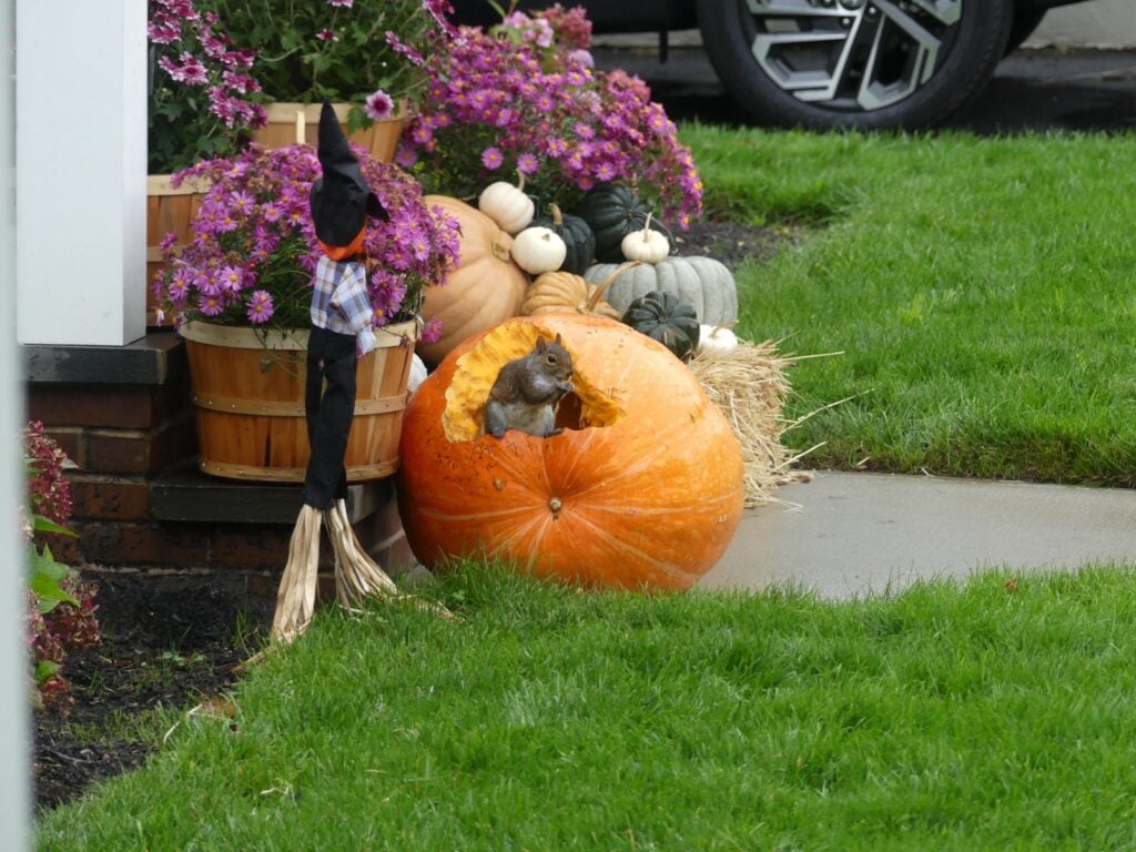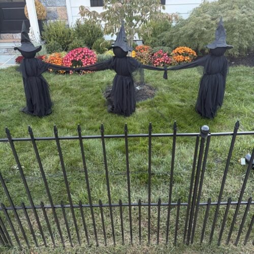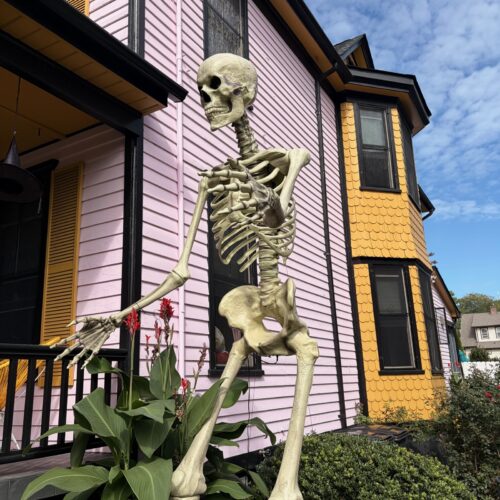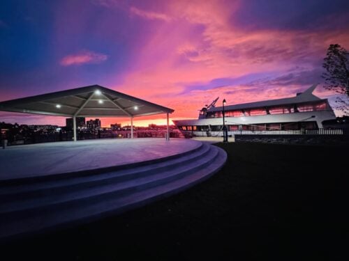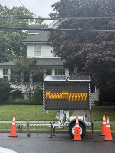




 Broad Street, Red Bank, late Thursday afternoon.
Yesterday’s rain gave way to this morning’s dense fog, which will last until about 10a, according to the National Weather Service forecast for our area.
Later today, expect cloudy skies, with a high near 61.
Looking ahead to the weekend and beyond:
Tonight: Periods of rain, mainly after 11pm. Patchy fog. Low around 56. South wind between 6 and 8 mph. Chance of precipitation is 90%. New rainfall amounts between a half and three quarters of an inch possible.
Saturday: Showers, with thunderstorms also possible after 10am. High near 64. Breezy, with a south wind 10 to 13 mph increasing to between 18 and 21 mph. Chance of precipitation is 100%. New rainfall amounts between a quarter and half of an inch possible.
Saturday Night: Showers and possibly a thunderstorm before 1am, then a chance of showers. Low around 46. Southwest wind around 17 mph. Chance of precipitation is 80%. New rainfall amounts between a half and three quarters of an inch possible.
Sunday: Partly sunny, with a high near 53. Breezy, with a west wind between 16 and 22 mph.
Sunday Night: Partly cloudy, with a low around 35.
Monday: Mostly cloudy, with a high near 49.
Monday Night: Mostly cloudy, with a low around 33.
Tuesday: Partly sunny, with a high near 43.
Tuesday Night: Partly cloudy, with a low around 28.
Wednesday: Mostly sunny, with a high near 41.
Wednesday Night: Partly cloudy, with a low around 30.
Thursday: Partly sunny, with a high near 46.