 After a downpour Saturday night and early Sunday that left waterways running high, more rain is headed to the Greater Red Bank Green Monday, according to the National Weather Service.
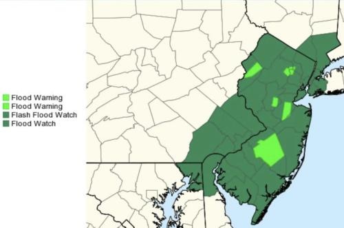
A flood watch is in effect as up to three-quarters of an inch could fall from 1 p.m. into the evening, according to the forecast. Temperatures are expected to peak in the low 50s.
Check out the extended forecast below. (National Weather Service image. Click to enlarge.)
Monday
Rain, mainly after 1pm. High near 51. Breezy, with a southeast wind 6 to 11 mph increasing to 20 to 25 mph in the afternoon. Winds could gust as high as 36 mph. Chance of precipitation is 100%. New precipitation amounts between a half and three quarters of an inch possible.
Monday Night
Showers, mainly before 10pm. Low around 35. Breezy, with a southeast wind 15 to 21 mph becoming west after midnight. Chance of precipitation is 80%. New precipitation amounts between a tenth and quarter of an inch possible.
Tuesday
Mostly sunny, with a high near 43. Breezy, with a west wind 20 to 23 mph, with gusts as high as 38 mph.
Tuesday Night
Partly cloudy, with a low around 28. West wind 15 to 17 mph.
Wednesday
Mostly cloudy, with a high near 41. Breezy, with a west wind 16 to 22 mph, with gusts as high as 36 mph.
Wednesday Night
Partly cloudy, with a low around 32. Breezy.
Thursday
Sunny, with a high near 45.
Thursday Night
Partly cloudy, with a low around 32.
Friday
Partly sunny, with a high near 43.
Friday Night
Mostly cloudy, with a low around 34.
Saturday
Mostly sunny, with a high near 46.
Saturday Night
A chance of showers. Mostly cloudy, with a low around 36. Chance of precipitation is 40%.
Sunday
A chance of showers. Mostly cloudy, with a high near 53. Chance of precipitation is 50%