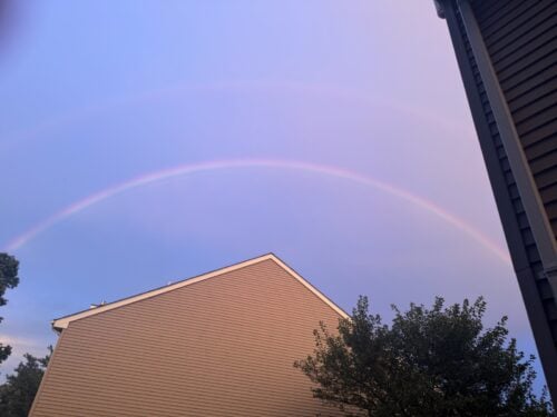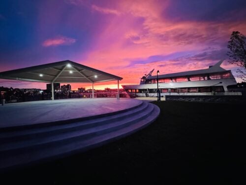




 A new season began last week, which means it’s time for fresh mural on the side of Fair Haven Hardware in Fair Haven. As always, Jim Fitzmaurice of Rumson was on location Friday, creating his latest traffic-calming landscape.
The week ahead promises to bring a palette of seasonally appropriate weather to the Greater Red Bank Green, ranging from clammy to cool and dry. See the extended forecast below.
Monday
Patchy drizzle with a slight chance of showers before 1pm, then a slight chance of showers after 5pm. Patchy fog before 9am. Otherwise, cloudy, then gradually becoming mostly sunny, with a high near 77. South wind 5 to 10 mph. Chance of precipitation is 20%.
Monday Night
A slight chance of showers before 10pm, then a chance of showers after 2am. Mostly cloudy, with a low around 66. South wind 5 to 10 mph. Chance of precipitation is 30%. New precipitation amounts of less than a tenth of an inch possible.
Tuesday
A chance of showers and thunderstorms, then showers likely and possibly a thunderstorm after 2pm. Some of the storms could produce heavy rainfall. Partly sunny, with a high near 75. South wind around 10 mph. Chance of precipitation is 60%. New rainfall amounts of less than a tenth of an inch, except higher amounts possible in thunderstorms.
Tuesday Night
Showers and possibly a thunderstorm. Some of the storms could produce heavy rainfall. Low around 66. South wind around 5 mph, with gusts as high as 20 mph. Chance of precipitation is 90%. New rainfall amounts between three quarters and one inch possible.
Wednesday
Showers likely and possibly a thunderstorm before 2pm, then a chance of showers and thunderstorms after 2pm. Mostly cloudy, with a high near 73. Chance of precipitation is 70%. New rainfall amounts between three quarters and one inch possible.
Wednesday Night
A chance of showers. Mostly cloudy, with a low around 55. Chance of precipitation is 50%.
Thursday
Mostly sunny, with a high near 72.
Thursday Night
Mostly clear, with a low around 54.
Friday
Mostly sunny, with a high near 66.
Friday Night
Partly cloudy, with a low around 50.
Saturday
Sunny, with a high near 66.
Saturday Night
Mostly clear, with a low around 50.
Sunday
Mostly sunny, with a high near 65.