 There’s snow in the forecast for the Greater Red Bank Green this week, according to the National Weather Service. But not the ‘help empty the store shelves’ kind of snow.
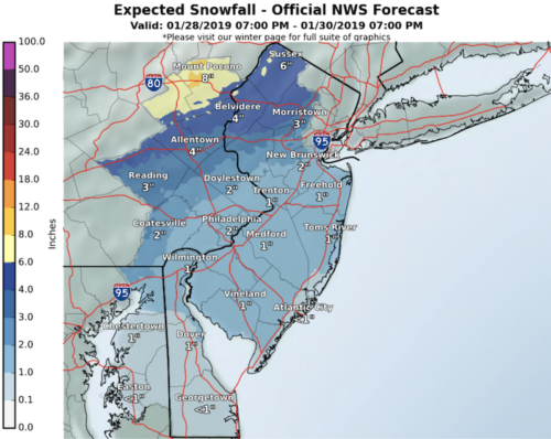
Check out the extended forecast below. (National Weather Service image. Click to enlarge.)
Monday
Sunny, with a high near 33. North wind 7 to 11 mph.
Monday night
Partly cloudy, with a low around 28. East wind around 7 mph.
Tuesday
A slight chance of rain and snow before 10am, then rain likely. Mostly cloudy, with a high near 41. Southeast wind 8 to 14 mph. Chance of precipitation is 60%. Little or no snow accumulation expected.
Tuesday night
Rain before 9pm, then snow. Low around 24. Breezy, with a south wind 11 to 20 mph becoming west after midnight. Chance of precipitation is 80%. New snow accumulation of less than one inch possible.
Wednesday
A chance of snow before 8am, then a chance of snow showers, mainly after 2pm. Partly sunny, with a high near 25. Breezy, with a west wind 17 to 21 mph, with gusts as high as 33 mph. Chance of precipitation is 30%. New snow accumulation of less than a half inch possible.
Wednesday night
A chance of snow showers before 8pm. Partly cloudy, with a low around 6. Breezy. Chance of precipitation is 30%.
Thursday
Sunny, with a high near 16.
Thursday night
Partly cloudy, with a low around 11.
Friday
Partly sunny, with a high near 23.
Friday night
Mostly cloudy, with a low around 18.
Saturday
Mostly sunny, with a high near 31.
Saturday night
Partly cloudy, with a low around 24.
Sunday
Mostly sunny, with a high near 42.