


 After a week marked by two snowstorms and deep cold, weather conditions on the Greater Red Bank Green will edge back to normal this week, according to the National Weather Service.
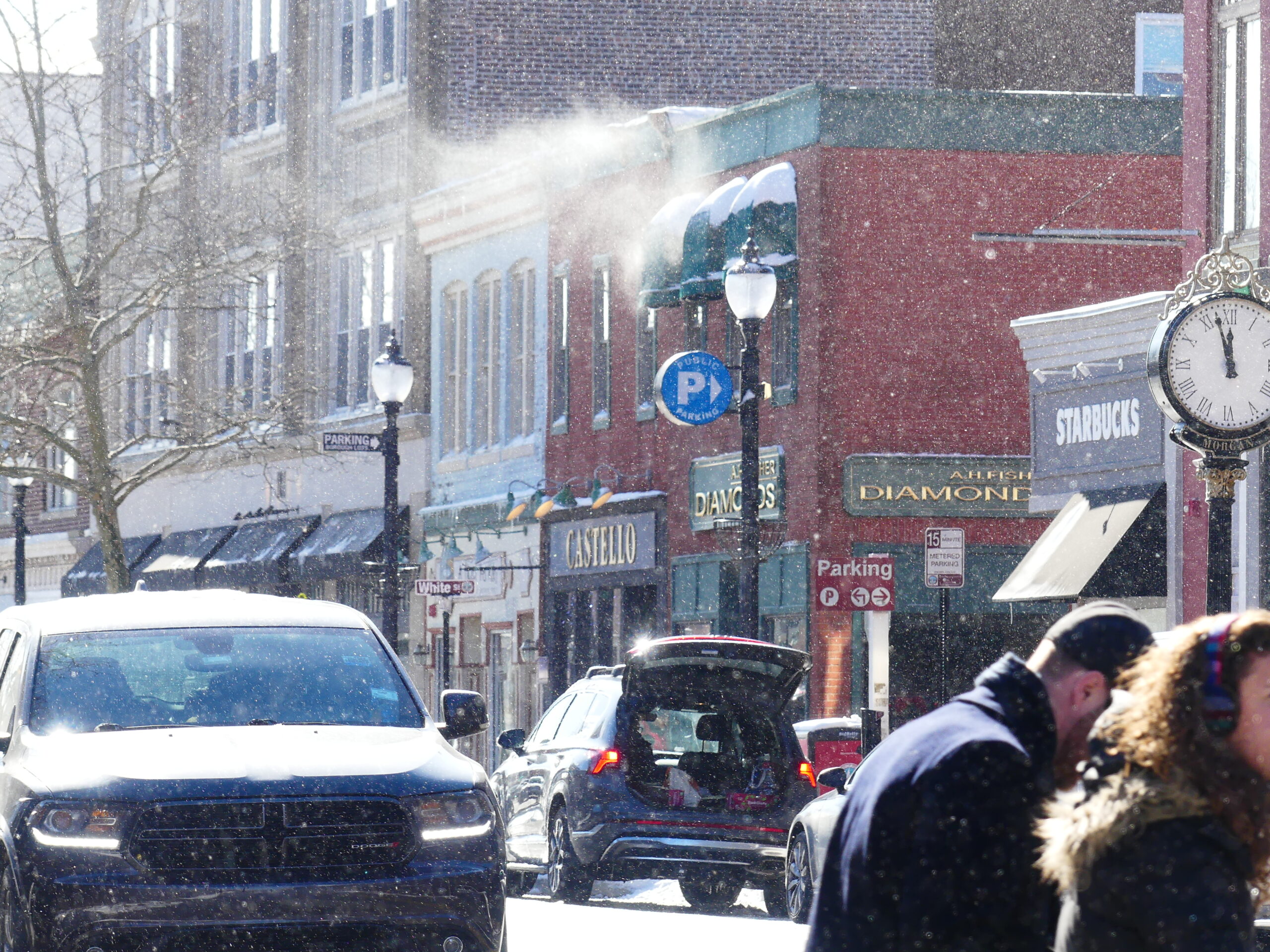
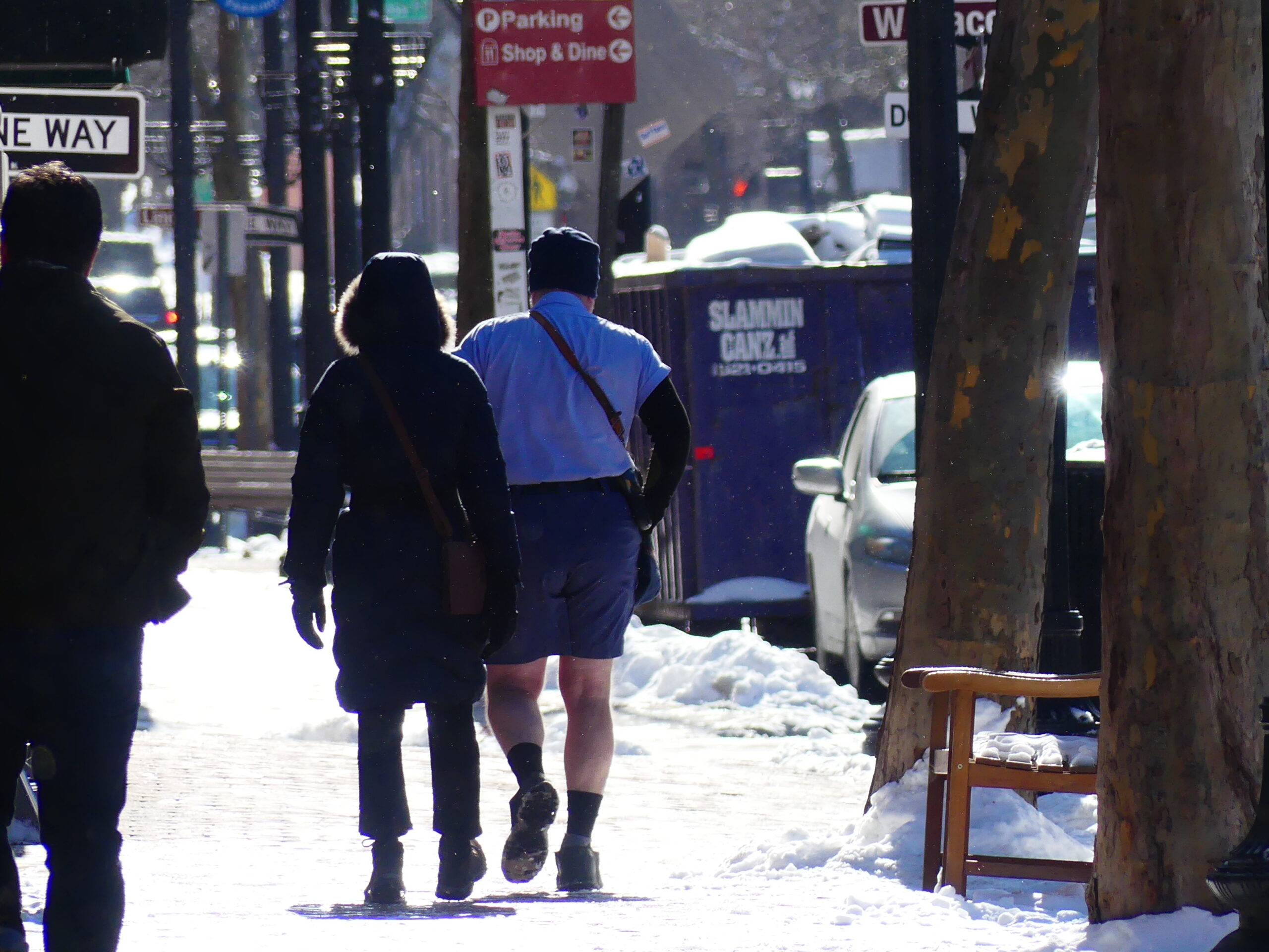 While blustery winds whipped snow off a Broad Street roof (top photo), a postal worker hoofed it Bermuda style just across the street Saturday. (Photos by John T. Ward. Click to enlarge.)
Here’s the near term forecast:
Monday
Increasing clouds, with a high near 36. Southwest wind 5 to 10 mph.
Monday Night
Mostly cloudy, with a low around 29. Southwest wind around 10 mph.
Tuesday
A slight chance of rain between 1pm and 4pm. Cloudy, with a high near 40. West wind 5 to 10 mph. Chance of precipitation is 20%.
Tuesday Night
A chance of rain after 1am. Cloudy, with a low around 35. East wind around 5 mph. Chance of precipitation is 30%. New precipitation amounts of less than a tenth of an inch possible.
Wednesday
Rain likely, mainly after 4pm. Cloudy, with a high near 43. Southeast wind around 5 mph. Chance of precipitation is 60%. New precipitation amounts of less than a tenth of an inch possible.
Wednesday Night
Rain. Low around 39. Chance of precipitation is 80%. New precipitation amounts between a quarter and half of an inch possible.
Thursday
Rain. High near 50. Chance of precipitation is 80%.
Thursday Night
Rain. Low around 45. Chance of precipitation is 80%.
Friday
A chance of rain before 1pm. Cloudy, with a high near 54. Chance of precipitation is 40%.
Friday Night
Mostly cloudy, with a low around 39.
Saturday
Mostly cloudy, with a high near 50.
Saturday Night
A chance of rain. Mostly cloudy, with a low around 35. Chance of precipitation is 30%.
Sunday
A chance of rain. Mostly cloudy, with a high near 44. Chance of precipitation is 30%.
If you value the news coverage provided by redbankgreen, please become a financial supporter for as little as $1 per month. Click here to set your own level of monthly or annual contribution.


