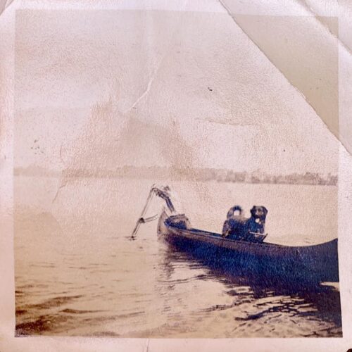
 A fishing party takes shelter in the shade of the Cooper Bridge between Red Bank and Middletown Wednesday. (Photo by Stacie Fanelli. Click to enlarge.)
The National Weather Service has issued an excessive heat warning to residents of the Red Bank region and beyond, alerting them to the dangers of high temperatures that are expected to linger into the weekend.
The warning, in effect through Saturday night, recommends limiting exposure to the heat, drinking lots of fluids and taking breaks from strenuous work as the mercury jumps to the mid-90s Thursday, with heat index readings around 103. Heat index is an attempt to approximate the perceived temperature when humidity is factored in.
It gets worse Friday. Temperatures are expected to hit 97 degrees, with a heat index of 106.
Here’s the forecast:
Today: Patchy fog before 10am. Otherwise, mostly cloudy, then gradually becoming sunny, with a high near 95. Heat index values as high as 103. Southwest wind between 6 and 15 mph.
Tonight: Patchy fog after 2am. Otherwise, mostly clear, with a low around 75. Southwest wind between 6 and 10 mph.
Friday: Patchy fog before 8am. Otherwise, mostly sunny and hot, with a high near 97. Heat index values as high as 106. West wind between 6 and 8 mph.
Friday Night: Partly cloudy, with a low around 76. South wind at 7 mph becoming west.
Saturday: Mostly sunny, with a high near 94. Northwest wind between 5 and 9 mph.
Saturday Night: A slight chance of showers and thunderstorms before midnight. Partly cloudy, with a low around 73. Chance of precipitation is 20%.
Sunday: Partly sunny, with a high near 89.
Sunday Night: Mostly cloudy, with a low around 69.
Monday: Partly sunny, with a high near 87.
Monday Night: Mostly cloudy, with a low around 71.
Tuesday: Mostly sunny, with a high near 87.
Tuesday Night: Partly cloudy, with a low around 71.
Wednesday: Sunny, with a high near 88.