



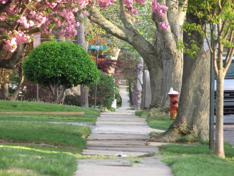
 Has long-awaited spring of 2018 finally taken hold? It sure looked and felt that way on South Street in Red Bank Friday, above. (Photo by John T. Ward. Click to enlarge.)
We’re in for lots of sunshine and warm temperatures in coming days, according to the National Weather Service. Here’s the extended forecast for the Greater Green:
Monday
Patchy fog before 9am. Otherwise, cloudy, then gradually becoming mostly sunny, with a high near 66. North wind 6 to 8 mph becoming east in the afternoon.
Monday Night
Mostly cloudy, with a low around 50. Southeast wind 6 to 9 mph.
Tuesday
Mostly sunny, with a high near 61. Northeast wind around 9 mph.
Tuesday Night
Partly cloudy, with a low around 51. Southeast wind 5 to 7 mph becoming light and variable after midnight.
Wednesday
Mostly sunny, with a high near 63. Northwest wind around 6 mph becoming southeast in the afternoon.
Wednesday Night
Partly cloudy, with a low around 52.
Thursday
Mostly sunny, with a high near 68.
Thursday Night
A chance of showers. Mostly cloudy, with a low around 58. Chance of precipitation is 30%.
Friday
Mostly sunny, with a high near 74.
Friday Night
Partly cloudy, with a low around 55.
Saturday
Partly sunny, with a high near 69.
Saturday Night
Mostly cloudy, with a low around 58.
Sunday
A chance of showers and thunderstorms. Partly sunny, with a high near 76. Chance of precipitation is 30%.