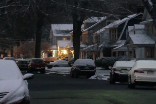
The area could see another dusting Tuesday night, according to the National Weather Service. Meantime, Monday’s outlook includes a gradual return of the sun and peak temperatures in the mid-40s.
Check out the extended forecast below. (Photo by John T. Ward. Click to enlarge.)Monday
Mostly cloudy, then gradually becoming sunny, with a high near 44. Light southwest wind becoming west 6 to 11 mph in the morning.
Monday Night
Mostly clear, with a low around 29. West wind around 7 mph.
Tuesday
A chance of rain, mainly after 4pm. Increasing clouds, with a high near 41. West wind 6 to 8 mph becoming southeast in the afternoon. Chance of precipitation is 30%. New precipitation amounts of less than a tenth of an inch possible.
Tuesday Night
A chance of rain before 11pm, then a chance of snow between 11pm and 4am. Mostly cloudy, with a low around 30. Northeast wind 7 to 14 mph becoming west after midnight. Chance of precipitation is 50%. New snow accumulation of less than a half inch possible.
Wednesday
Mostly sunny, with a high near 40. Windy, with a west wind 15 to 20 mph increasing to 21 to 26 mph in the afternoon. Winds could gust as high as 37 mph.
Wednesday Night
Mostly clear, with a low around 23. Breezy.
Thursday
Sunny, with a high near 36.
Thursday Night
Mostly cloudy, with a low around 30.
Friday
Mostly cloudy, with a high near 52.
Friday Night
Cloudy, with a low around 46.
Saturday
Cloudy, with a high near 60. Breezy.
Saturday Night
Cloudy, with a low around 42.
Sunday
Partly sunny, with a high near 51.


