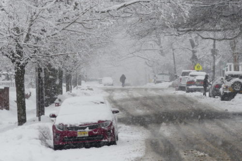
 More snow is coming to the Greater Red Bank Green Monday, but not on the scale of the four snowfalls the area’s seen this snowy month of February.
Most will occur within a one-to-three-hour “burst of heavy snow” in the late morning and early afternoon, but will mix with and change to rain, according to the National Weather Service.
All precipitation should move out by early evening, leaving behind less than half an inch of accumulation.
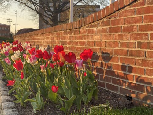
The rest of the week looks to be snow-free and warm enough to melt most or all of what’s left over from last week’s storm. Check out the extended forecast below. (Photo by John T. Ward. Click to enlarge.)
Monday
Rain and snow, becoming all rain after 3pm. High near 40. South wind 10 to 15 mph. Chance of precipitation is 100%. Total daytime snow accumulation of less than a half inch possible.
Monday Night
A chance of rain before 7pm. Mostly cloudy, with a low around 29. West wind 10 to 15 mph. Chance of precipitation is 30%. New precipitation amounts of less than a tenth of an inch possible.
Tuesday
Partly sunny, with a high near 42. West wind around 10 mph.
Tuesday Night
Mostly clear, with a low around 31. West wind 5 to 10 mph.
Wednesday
Mostly sunny, with a high near 48. Southwest wind 5 to 10 mph.
Wednesday Night
Partly cloudy, with a low around 34.
Thursday
Mostly sunny, with a high near 44.
Thursday Night
Partly cloudy, with a low around 26.
Friday
Mostly sunny, with a high near 38.
Friday Night
Partly cloudy, with a low around 27.
Saturday
Mostly cloudy, with a high near 42.
Saturday Night
A chance of rain. Mostly cloudy, with a low around 34. Chance of precipitation is 30%.
Sunday
A chance of rain. Mostly cloudy, with a high near 48. Chance of precipitation is 40%.
If you value the news coverage provided by redbankgreen, please become a paying member. Click here for details about our new, free newsletter and membership information.


